Welcome to My Portfolio

Hi, I'm Juhans

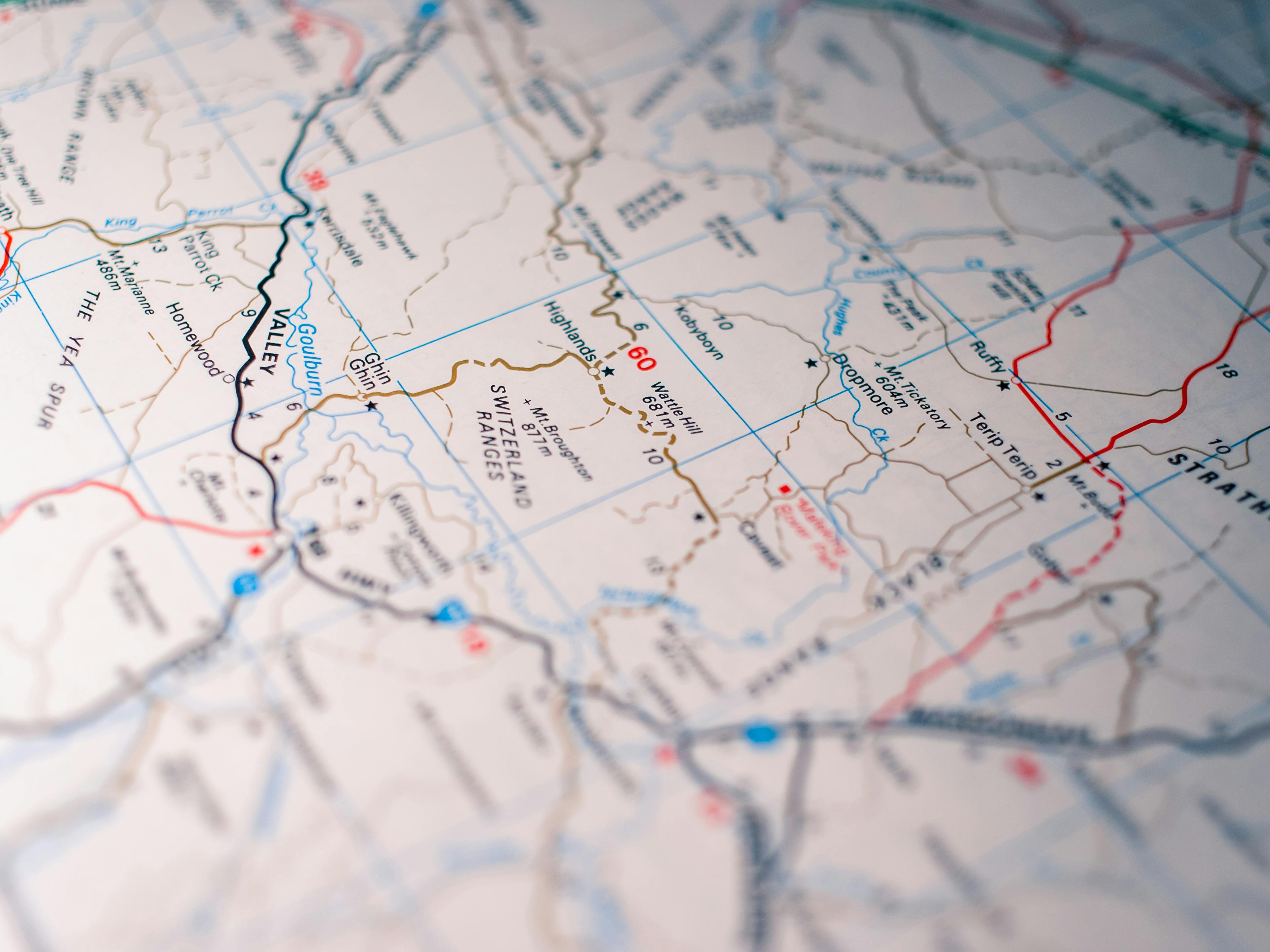
Certified GIS Analyst

Passionate GIS Analyst with expertise in spatial data analysis, cartography, and geospatial technologies. Over the years, I have been involved in diverse projects related to urban and regional planning, land use management, and environmental assessment, enabling me to integrate technical GIS skills with practical field knowledge.

📍 Jakarta, Indonesia ✉️ juhans@tuta.io
GIS

About Me

Professional workspace

Transforming Data into Geographic Intelligence

I am a dedicated GIS Analyst with extensive experience in spatial analysis, remote sensing, and cartographic design. My work focuses on leveraging geospatial technologies to solve real-world problems and support data-driven decision making.

  • ✓ 9+ years of experience in GIS analysis and mapping
  • ✓ Proficient in ArcGIS and QGIS, and spatial analysis
  • ✓ Strong background in urban planning and satellite imagery analysis
  • ✓ Experienced in creating custom cartographic solutions

Technical Skills

A comprehensive toolkit for spatial analysis and geospatial problem-solving.

GIS Software

ArcMap ArcGIS Pro QGIS Global Mapper ENVI PCI Geomatica

Programming

SQL HTML CSS JavaScript Leaflet Open Layers

Spatial Analysis

Spatial Statistics Network Analysis Terrain Analysis Buffer Analysis

Data Management

PostgreSQL/PostGIS Geodatabase Design Data Integration

Cartography

Map Design Data Visualization Web Mapping Atlas Production

My Resume

Short summary of professional journey in geographic information systems and spatial analysis.

Page: 1 / ?

Get In Touch

Have a project in mind or want to discuss GIS solutions? Feel free to reach out.

✉️
📍

Location

Jakarta, Indonesia

📱

Phone

+62 822-9994-5511

EN